FAQ
Frequently Asked Questions

How does the geoLOGr system differ from hyperspectral imaging and point-by-point measurement systems?
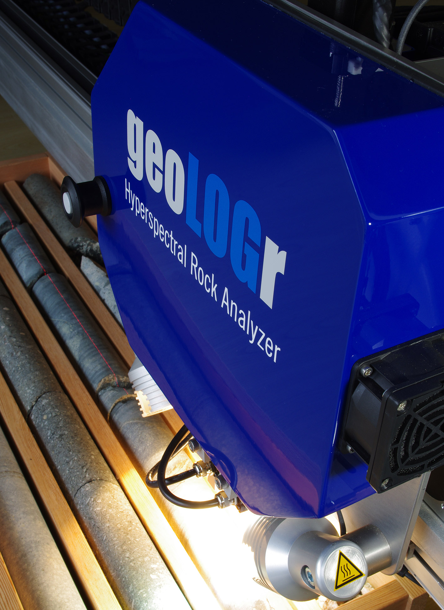
The geoLOGr combines the advantages of both measurement systems by providing a continuous data coverage that is typically restricted to imaging systems, and the high spectral resolution and data quality of point-by-point measurement systems. At the same time, the geoLOGr evades the drawbacks of these systems by producing manageable data volumes and sufficient data density at a reasonable cost.
Which rock and deposit types can be analyzed with the geoLOGr system?
The geoLOGr system can be used for any type of deposits, including those hosted by dark (low-reflective) ultramafic rocks or shales.
Does the geoLOGr system provide “quantitative” mineral abundances?
Estimating “quantitative” mineral abundances from hyperspectral data alone (e.g., using linear deconvolution/unmixing or other spectral matching techniques) is fraught with a level of inaccuracy that we consider unacceptable. Our outputs are therefore based on the far more reliable and accurate LithotypeTM approach, which does not require external comparison or training datasets.
Can the geoLOGr measure in visible and long-wave infrared (LWIR) wavelength ranges?
The geoLOGr currently measures exclusively in the short-wave infrared (SWIR), which is the most useful wavelength range for the analysis of rocks. However, the high sensitivity of our data analysis renders the use of other wavelength ranges unnecessary.
Is the geoLOGr for rent or for sale, is the data processing included, and what does it cost?
The geoLOGrs are typically rented on a month-to-month basis, but they can also be purchased for longer term projects. The data processing is included with all rental units. Purchased units require a separate data processing agreement. Please contact us for a quote.
Order your geoLOGr Today!
Please get in touch with us to learn more about our product and how it can help you!